

European Helio- and Asteroseismology Network (HELAS)
Local Helioseismology Network Activity
|
HMI mapped and tracked datacubesDimensions: 256 x 256 x 1919 pixels Click here (FITS) to download the Carrington latitude and longitude maps for the centre time frame (2011.05.04_12:00:00_TAI). This data was created using the Track'n'Map pipeline at the SDO German Data Centre and is available under the series mps_schunker.v_auto_test, mps_schunker.m_auto_test and mps_schunker.ic_auto_test .
This website is best viewed using Firefox, Safari or Internet Explorer browsers.
|


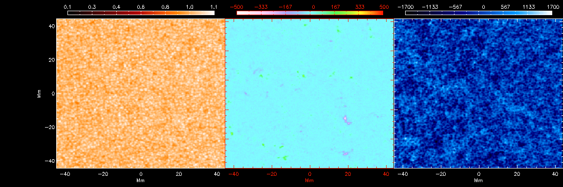 Movie of the intensity, magnetic field and velocity for 24 hours of HMI data at disk centre on 04.05.2011.
 A 24 hour power spectrum from one of these cubes with Model S eigenfrequencies over plotted.