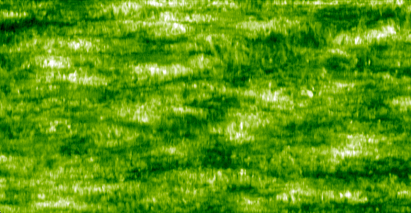
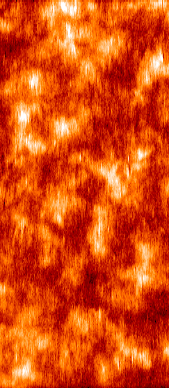
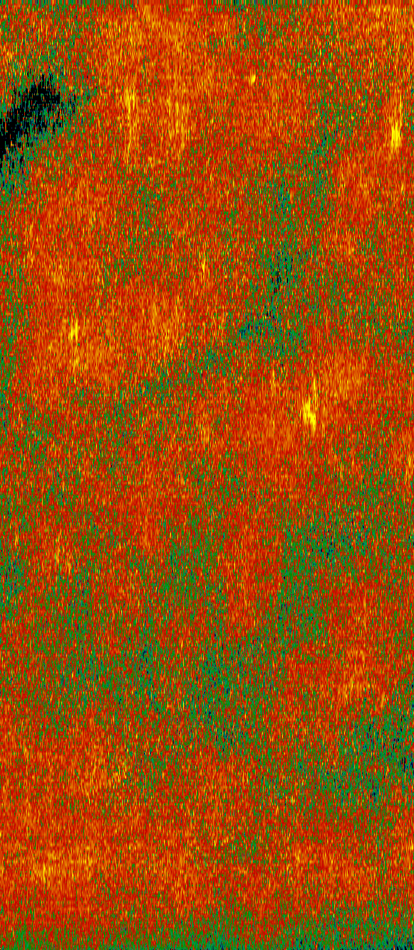
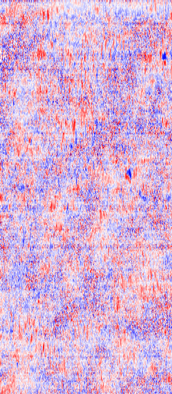
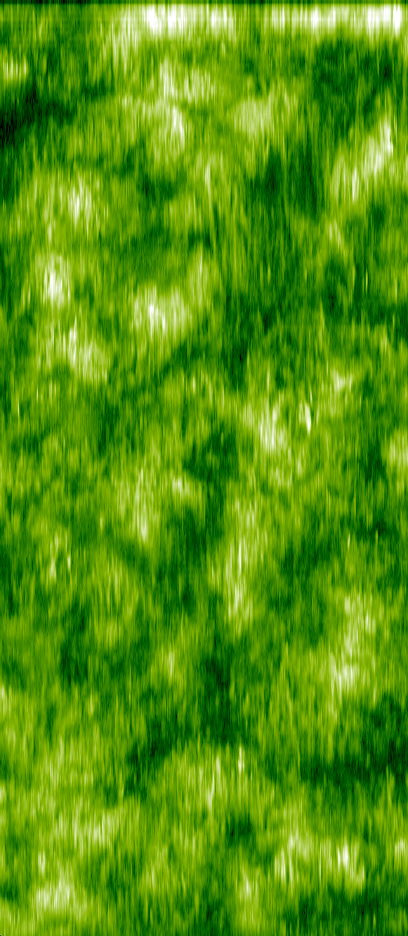
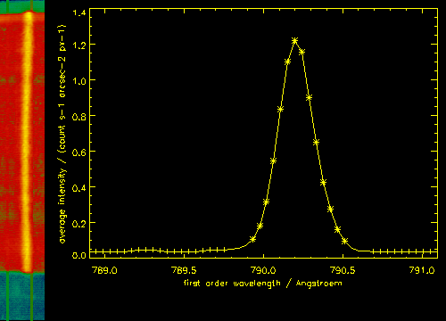
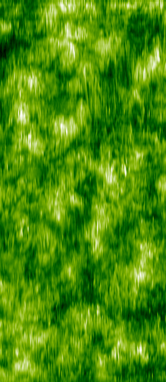
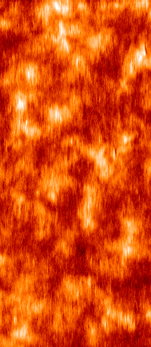
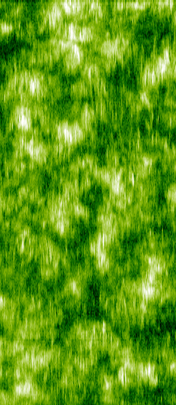
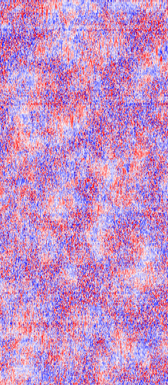
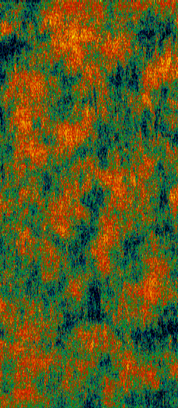
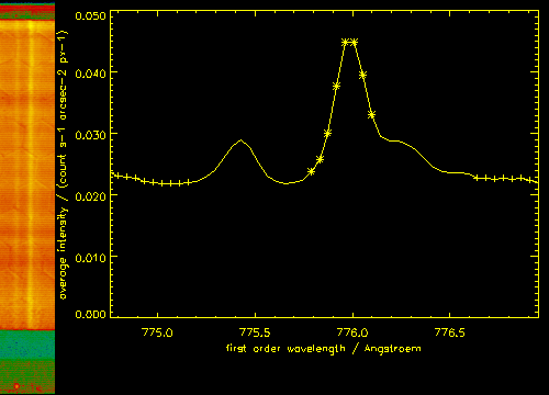
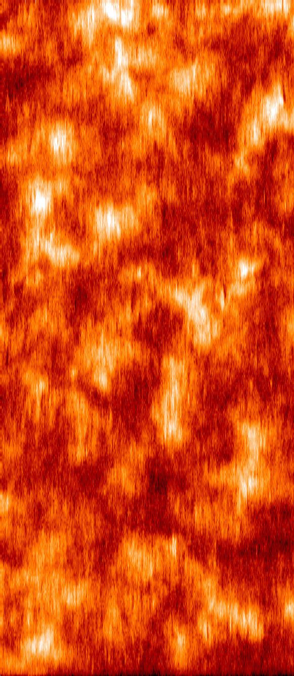
As an example, the intensity of Nitrogen IV for the whole time series is shown above. This kind of image does not show the structures on the solar surface in the right scale, it is rather stretched out of proportion in the east-west direction. If you click on the image, you will find a page with a collection of intensity images in this format, showing various temperatures.
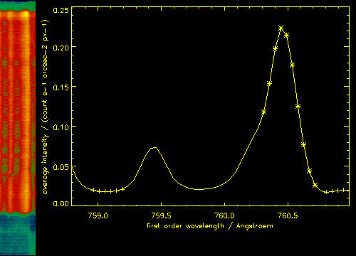
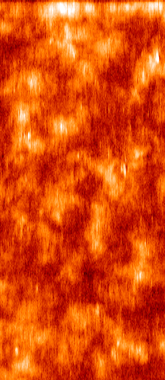
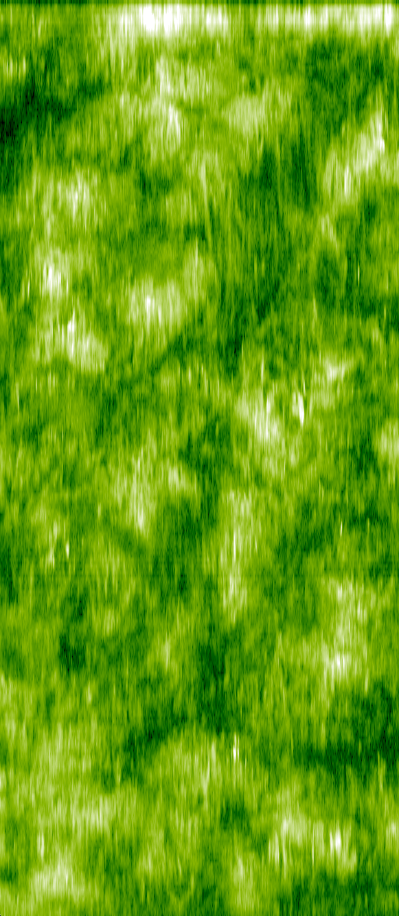
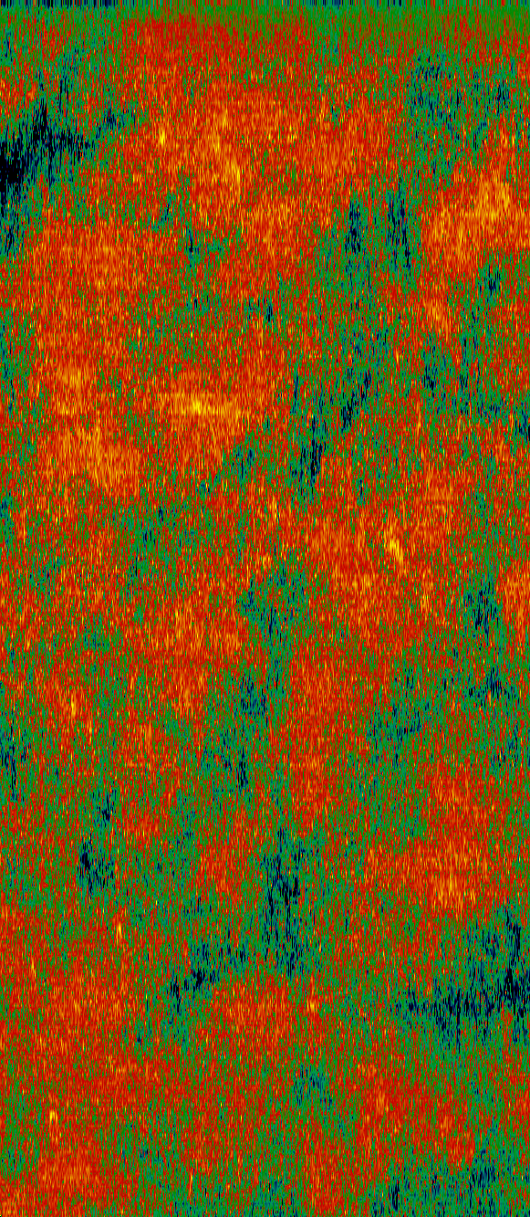
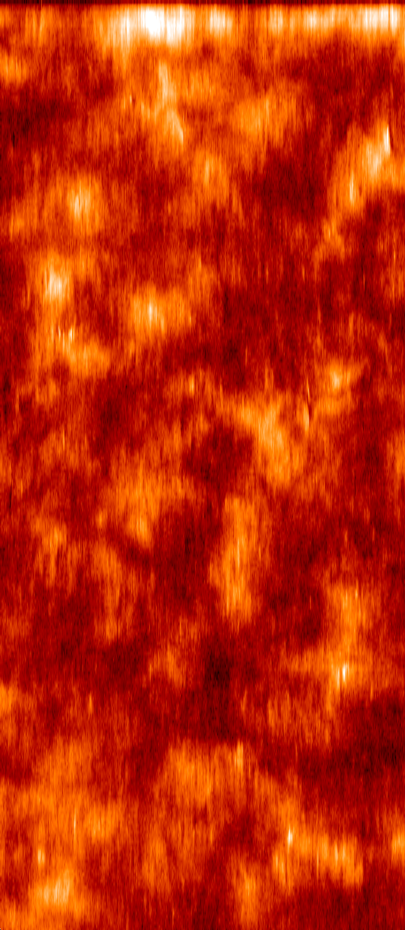
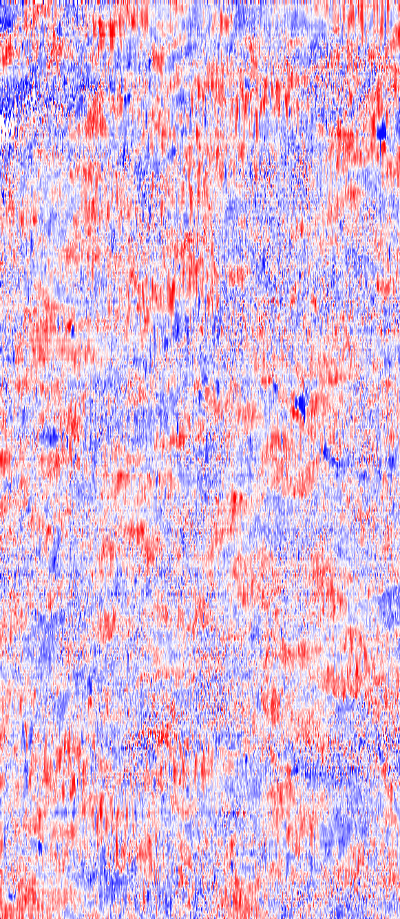
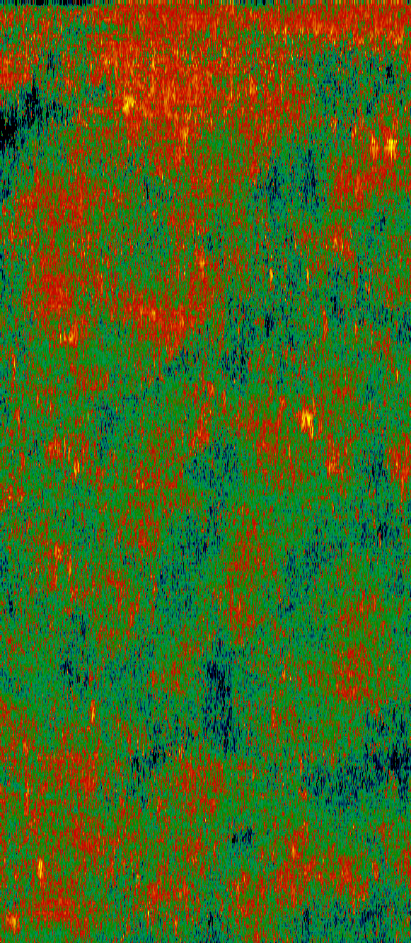
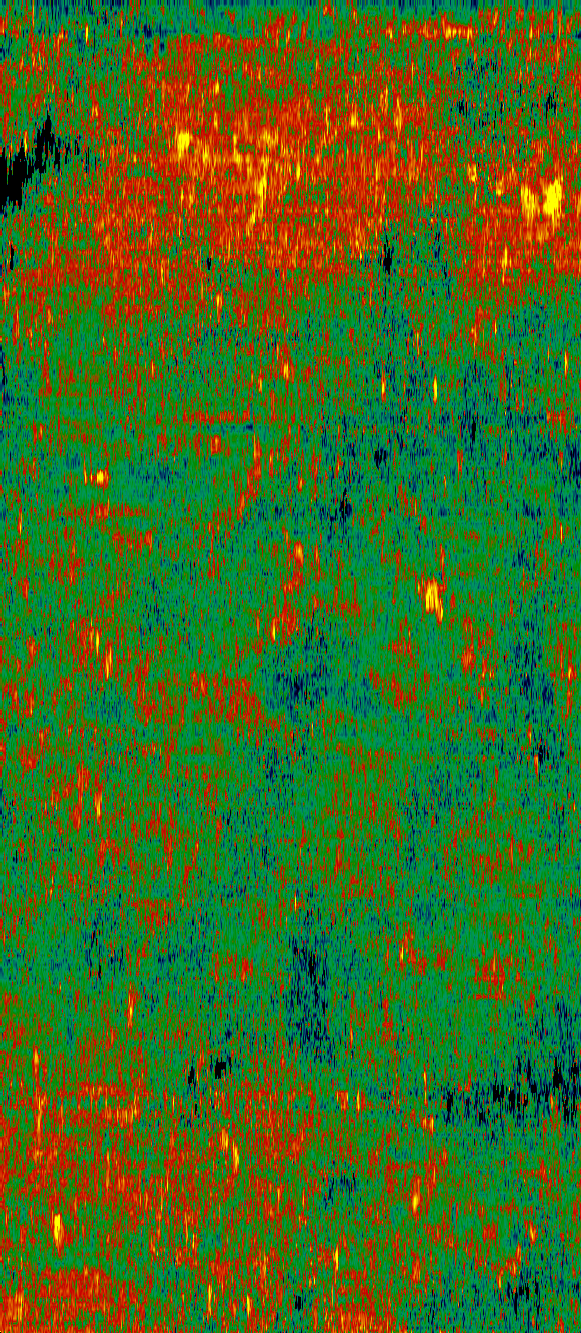
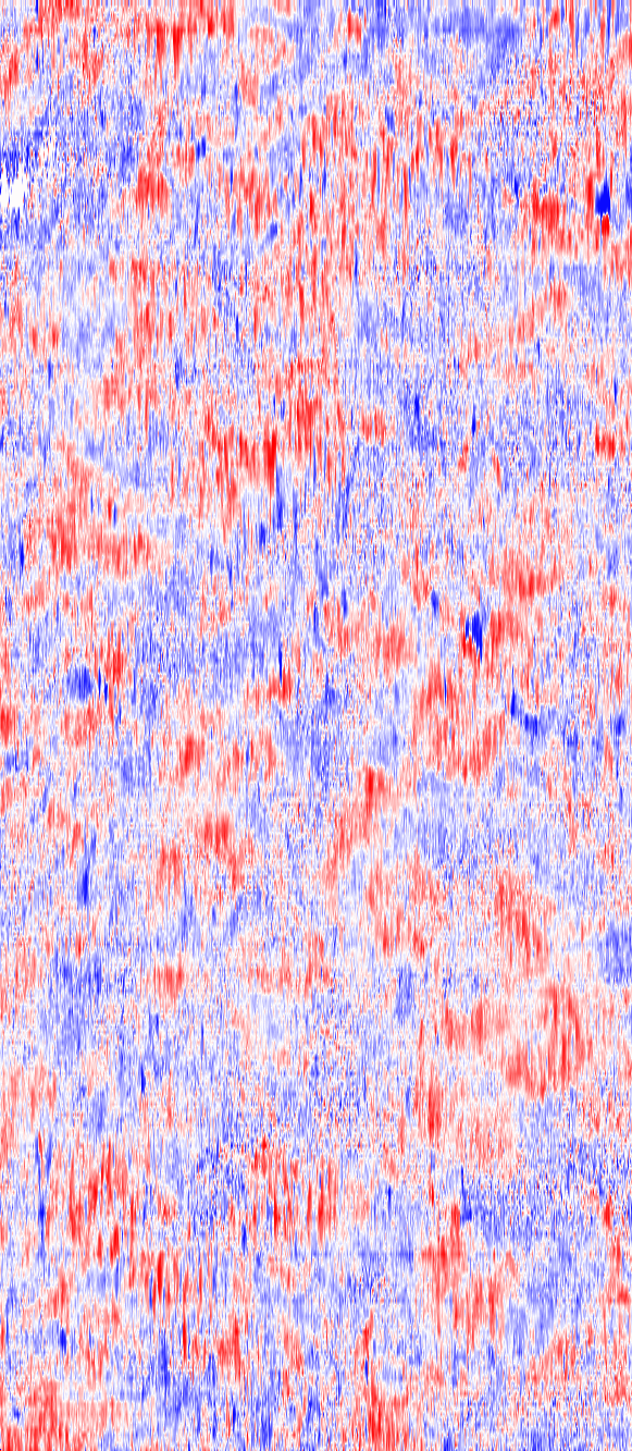
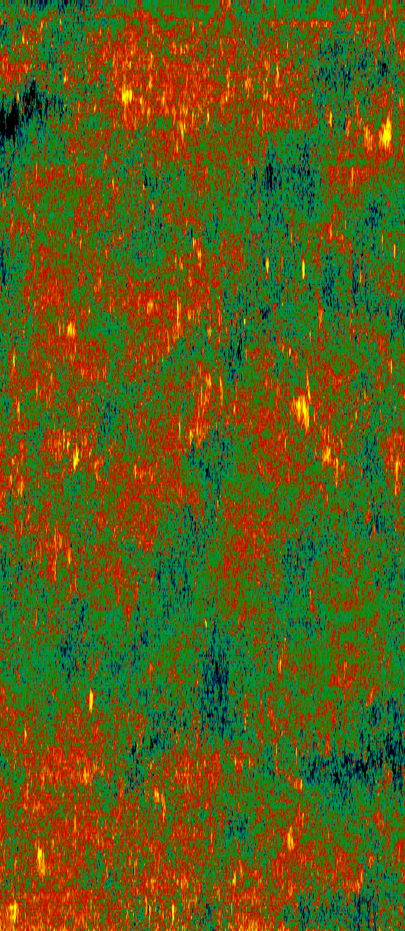
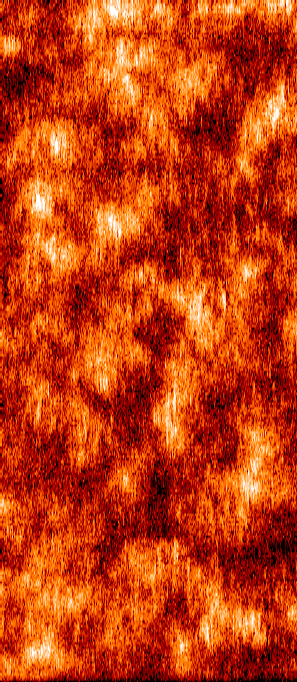
Below, approximately 4 to 5 raster pixels are binned such that the images appear in the right scale. Of course, using this format, temporal information is lost. If you click on the various small images you will find full resolution images. These images do not only reflect the structure of the solar surface but also the dynamics of changing intensity as seen through the vertical slit; they are thus a mixture of local and temporal information: horizontally adjacent pixels e.g. cover almost the same solar area (75-80%) but at a different time (1.5 minutes earlier or later).
BTW: This could have been the last big two-dimensional map of the Sun taken by SUMER on SOHO (see SOHO/SUMER: Almost "last light"). But then, SOHO was recovered...


IED, 07.Jun.00